Several rounds of strong thunderstorms passed over the Black Belt Tuesday into early Wednesday morning this week, causing damage and possible brief tornadoes in the area. Beginning early Tuesday afternoon, the National Weather Service’s Birmingham office issued the first of several tornado warnings affecting both Hale and Perry Counties that day. Tornado warnings affecting Newbern, Uniontown, Faunsdale, Greensboro, and Marion, among other locations, were issued.
As of Wednesday, NWS was still warning residents across Alabama about the potential for dangerous flooding following the large amounts of rain the storm system dropped on the area. Though the threat of tornadoes had ended, NWS said, flooding remained a possible danger.
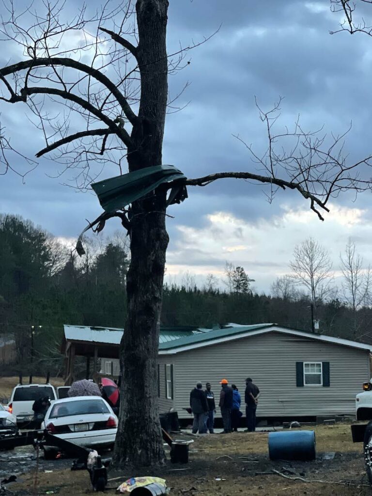
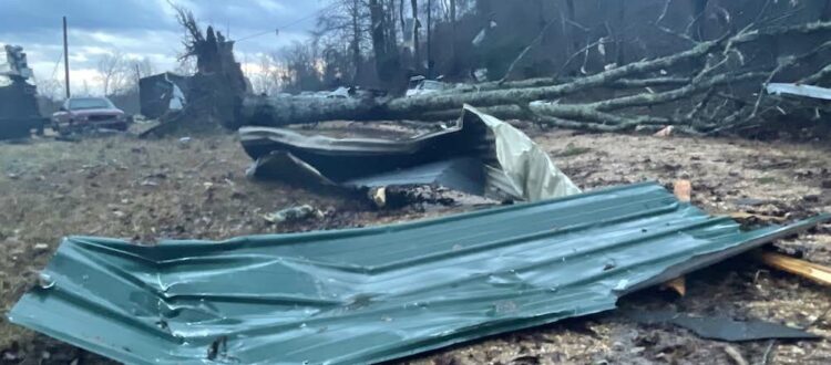
One suspected tornado passed over Hale County and into Perry, causing damage in the North Perry area, about three miles north of Marion on County Road 29. At the spot where the storm crossed that highway, metal and debris littered the treetops, yards, and the road after the storm passed through.
No homes appeared to have been destroyed and no casualties had been reported from that tornado as of press time, but property damage in the affected area appeared to be extensive.
NWS will send teams out to assess the storms’ damage and impact in the coming days. Once those teams’ initial reports have been released, more information about the storms impact on our region may become available.